


Please note: Before you go, check here for trail closures due to conditions, and help protect Boulder's natural beauty by remembering these Leave No Trace principles.
Before you head out, you can check real-time parking and weather conditions at area trailheads, including Doudy Draw and Flatirons Vista, thanks to Open Space and Mountain Parks' handy trailhead cameras! More trailheads will be added soon.
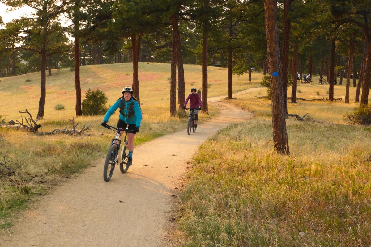
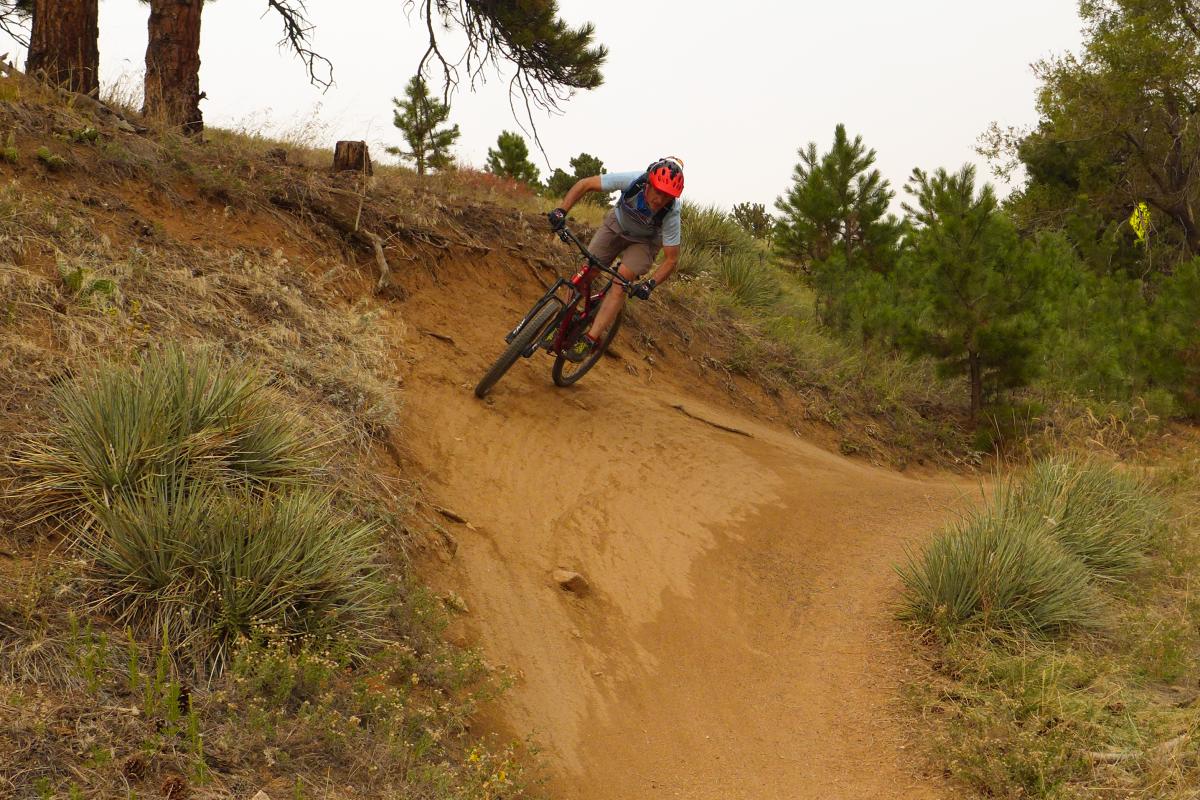
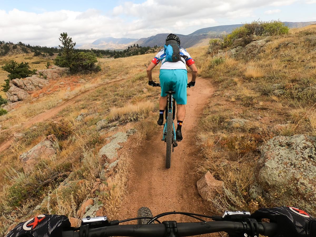
Betasso Preserve Mountain Biking
Fast, low-tech singletrack is Betasso’s calling card. The 3.3-mile Canyon Loop and the 2.9-mile Benjamin Loop are cut of the same cloth, offering hard-packed trails with just enough technical features to upgrade their difficulty from easy to intermediate. Betasso is popular with riders of all levels and is a great place to knock out a quick loop after work or to improve your cornering and flow. Many Boulder locals ride up to Betasso from town along the Boulder Creek Path, taking either the Betasso Link Trail from Boulder Canyon or the Fourmile Link Trail from Fourmile Canyon to access the main trails. Note that Betasso’s trails (minus the Betasso Link) are closed to mountain bikes on Wednesdays and Saturdays year-round.
Canyon Loop
Distance: 3.3 miles
Difficulty: Intermediate
Trail Map
For many years, the Canyon Loop was the only mountain bike trail at Betasso. The loop must be ridden in the designated direction (which is well-marked with signs) and the direction changes every month. Both ways feature fast, tight, singletrack that blazes through forest terrain, hillside shelves and trickling creek gullies. The clockwise loop is slightly more technical, due to a few rock step-ups on the climb out, but both directions require a heart-pounding exit ascent to close the loop. The majority of singletrack (and brief doubletrack closer to the trailhead) is non-technical and smooth.
Benjamin Loop
Distance: 2.4 miles
Difficulty: Easy–Intermediate
Trail Map
The Benjamin Loop is slightly less technical than the Canyon Loop and features the same directional requirements and rolling terrain. The singletrack has no major technical sections, though there are a few tight switchbacks that require steady control to clean without dabbing a foot. A few sections of the trail on the northwest side are cut into a steep hillside, offering a modest bit of benign exposure. The Benjamin Loop rides fast in either direction and is good for running multiple laps.

Betasso Link
Distance: 1.3 miles
Difficulty: Intermediate–Difficult
Trail Map
The Betasso Link’s rogue origins as an illegal trail may explain why it lacks the civility of Betasso’s other trails. In a surprising plot-twist, the city of Boulder decided to improve the trail and legalize it as a way to connect Boulder Canyon with Betasso. From the canyon, the trail begins with a heinously steep start, then levels out to a more-rideable ascent grade. A few rocky, rooty obstacles mid-trail warrant the more difficult rating. The upper section of the trail is easy singletrack.
Loop Link
Distance: 0.8 miles
Difficulty: Easy–Intermediate
Trail Map
This trail is a utilitarian singletrack that connects the Canyon and Benjamin Loops. From the Canyon Loop, the trail features narrow, hard packed trails carved into an off-camber slope. This is significant because the traffic here is two-way and there are blind corners galore — take it slow and easy. After crossing a bridge, the trail climbs up a less-cambered trail and ends at the Benjamin Loop.
Fourmile Link
Distance: 0.8 miles
Difficulty: Intermediate
Trail Map
Another utilitarian trail that connects Fourmile Canyon with the Benjamin Loop, this short singletrack features two distinct staircase hike-a-bikes. From the Benjamin Loop, the start of the trail is elegantly smooth singletrack, descending to Fourmile Creek. The first set of stairs is encountered here, followed by another rideable climb with a tricky switchback over embedded boulders. A second, longer staircase requires walking up to the paved road on Fourmile Canyon.
Avoid riding muddy, excessively wet, or icy trails. When encountering patches of mud or ice, ride through not around to avoid trail widening.
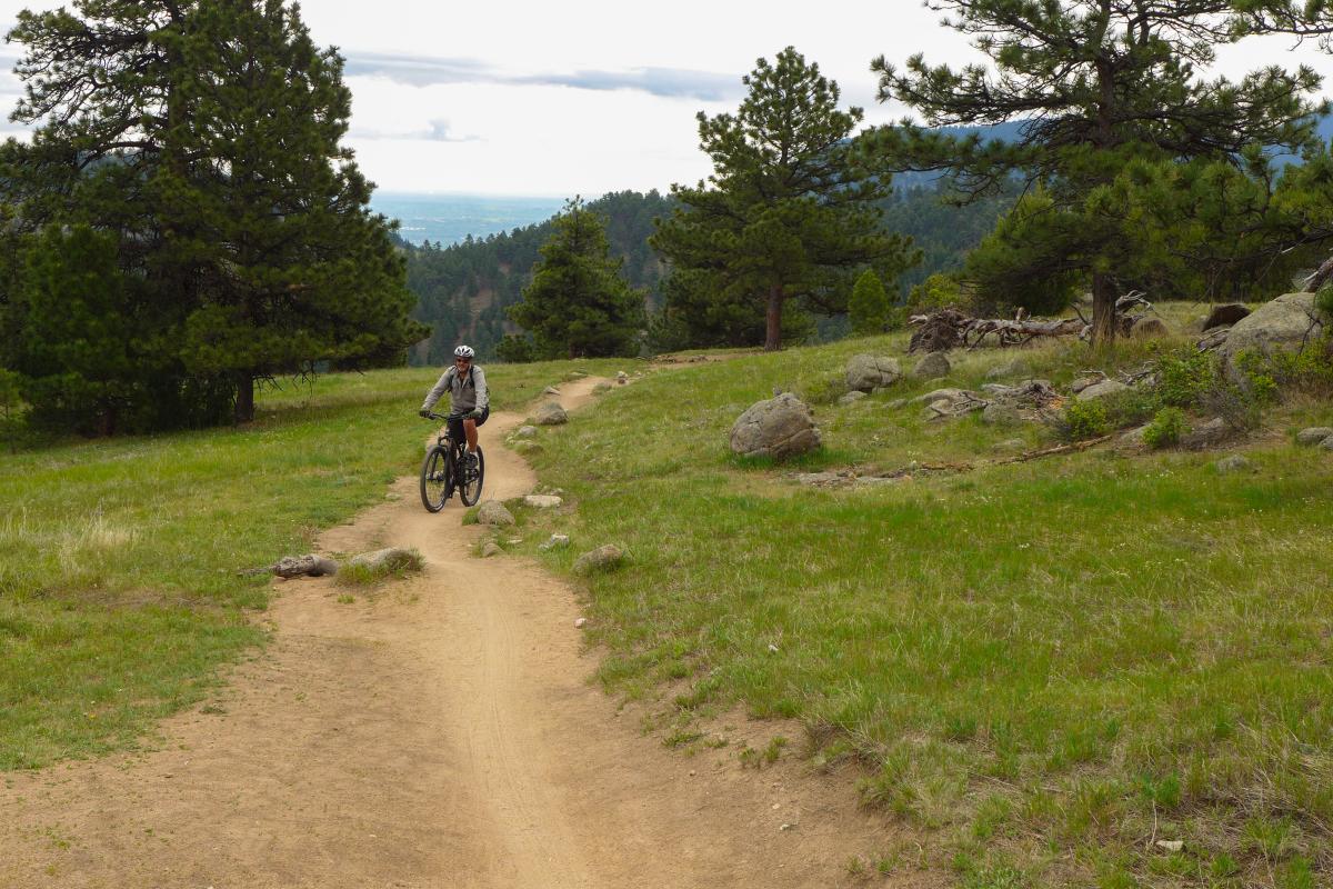
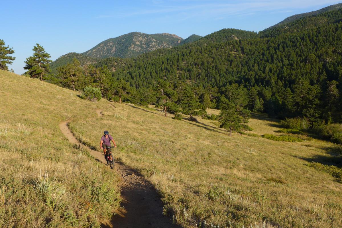
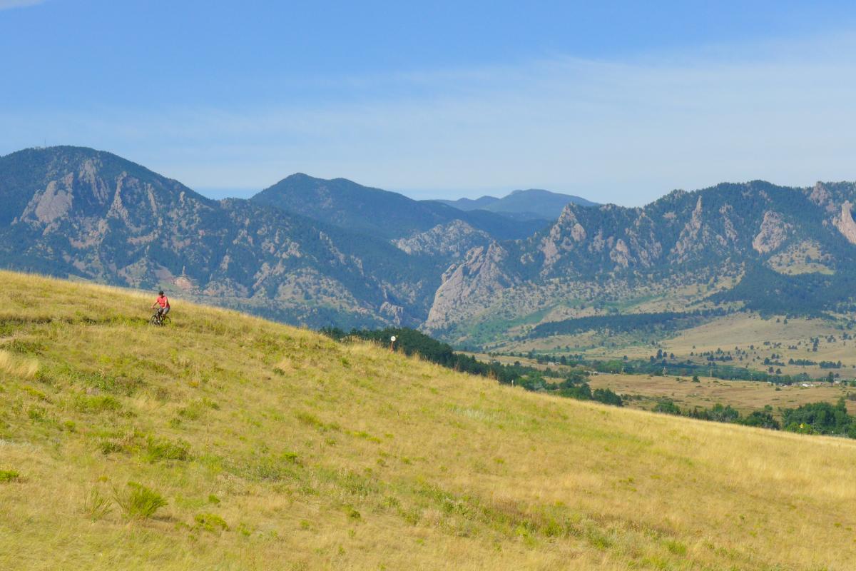
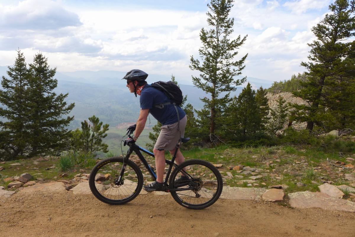
Walker Ranch/Meyers Ranch Mountain Biking
Walker Ranch and Meyers Ranch are located in the foothills west of Boulder. Mountain views from these two parks are glorious, but the action awaits in the valleys below. Unlike most mountain bike trails, Walker Ranch starts at a highpoint and descends 1,000 vertical feet before regaining the lost altitude. Mountain biking at Walker Ranch favors advanced riders, though intermediates hoping to up their game should give Walker a go — the more technical aspects are brief and can be walked around. In contrast, Meyers Ranch offers the scenic Meyers Homestead Trail which isn’t action-packed but is awfully pretty.
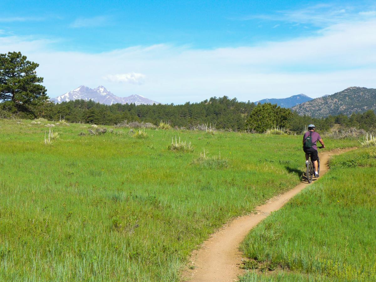
Meyers Homestead Trail
Distance: 2.5 miles (one-way)
Difficulty: Easy
Trail Map
The Meyers Homestead Trail starts from the Meyers Ranch Trailhead. This mellow doubletrack follows an old dirt road through flowery meadows, pine forests, and ends at a nice overlook that spans from the 13,000-foot Indian Peaks in the south to the hulking mass of 14,255-foot Longs Peak to the north. The low-grade climb to the overlook is sustained and actually gains about 730 vertical feet, making it a respectable workout. Riding back is almost all downhill.
Walker Ranch Loop
Distance: 7.6 miles
Difficulty: Difficult
Trail Map
Walker Ranch Loop is the pièce de résistance of Walker Ranch. As a loop, it can be ridden in either direction and both rides offer distinct challenges. Clockwise begins with a short, gut-punch technical climb over roots and rocks before hitting a high-speed descent through tight forest switchbacks. Counter-clockwise begins with a blazing, 1-mile long downhill burner along a fire road that ends at the swift-moving South Boulder Creek. In between is the heart of Walker Ranch Loop: rowdy singletrack that alternates between high-velocity descents and lung-burning, sustained climbing. Mixed in are a half-dozen legit technical rock obstacles and an unavoidable hike-a-bike up (or down) a stone staircase at the lowest elevation of the ride at South Boulder Creek. Riders who love quad-busting climbs should test their mettle against the counter-clockwise ascent up the aforementioned forest switchbacks — only the most fit will be able to clean the entire climb!
Walker Ranch Link
Distance: 1.1 miles (one-way)
Difficulty: Easy
This modest stretch of singletrack is a quick, easy trail that connects the Meyers Ranch Parking lot with Walker Ranch. It’s a good warm-up for the Walker Ranch Loop and is also an occasional necessity when the Walker Ranch parking lot is full on busy summer days.
Ride wisely and pack a rain shell, multi-tool, spare tube, pump and food to help ensure a fun and safe ride.
Hall Ranch Mountain Biking
Hall Ranch is rich with the delicious peril that advanced mountain bikers crave. A 1-mile stretch of highly technical riding through the Bitterbrush Trail’s notorious rock garden has been known to mangle both man and bike, but for those looking for difficult-but-rideable terrain (both up and down), the garden is the perfect proving ground. For a lower-intensity ride, there is an intermediate access trail (the Antelope Trail) that avoids the most harrowing terrain, eventually meeting up with the less-technical upper Bitterbrush Trail en route to the zoomy, intermediate Nelson Loop.
Bitterbrush Trail
Distance: 3.7 miles
Difficulty: Difficult
Trail Map - Lower
Trail Map - Upper
The lower portion of the Bitterbrush Trail is beloved by advanced mountain bikers for its challenging obstacles, all of which are rideable both up and down by strong riders. For intermediates hoping to up their skills, this is the place to do it. Ascending the trail requires powerful endurance combined with the ability to make big step-ups onto off-camber rocks, dialing in good lines through rock troughs, and pushing through sustained sections of root-rich boulders. At the top of the rock garden is a bench with open views. Here, the trail morphs into true intermediate terrain via a short descent (that merges with the Antelope Trail) and begins a steady climb out to the Nelson Loop. Descending the lower Bitterbrush requires committing lines, confidence, and a bike that can absorb big hits and drops. Pads and a full-face helmet are not unreasonable gear the rock garden.
Nelson Loop
Distance: 2.2 miles
Difficulty: Easy–Intermediate
Trail Map
The Nelson Loop can be ridden either way, but most riders prefer the clockwise option that begins with a modest climb. In contrast to the Bitterbrush Trail, the Nelson Loop doesn’t have much in the way of obstacles, though there are a few steep, quick sections of the trail that will jack up your heart rate. Just before the end of the ascent is an old, restored ranch house that is worth a visit. At the top of the climb, majestic views of Longs Peak and Mount Meeker await before beginning a thrilling, fast-rolling descent. Several small jumps add to the fun before closing the loop.
Antelope Trail
Distance: 1.0 miles
Difficulty: Intermediate
Trail Map
The Antelope Trail is a less-technical alternative to the lower Bitterbrush Trail. It starts from the Antelope Trailhead off Apple Valley Road and there are only enough parking spots for 8 cars. If you’re shut out from parking, starting from LaVern M. Johnson Park in town offers a quick 1.7-mile cruise to the trailhead. The Antelope Trail itself is rocky in places and has a few tight switchbacks, but the terrain is never demanding. It ends at the Upper Bitterbrush Trail and is the easiest way to access the Nelson Loop.

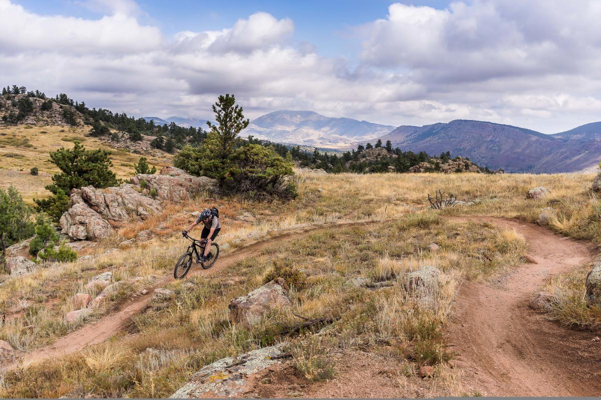
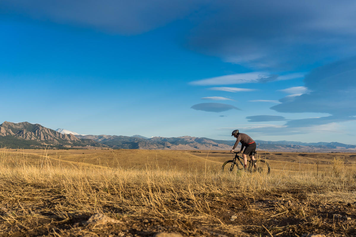
Marshall Mesa/Flatirons Vista Mountain Biking
The expansive Marshall Mesa trail matrix is made up of uncomplicated trails, many of which are doubletrack. The Flatirons Vista trails are similar in style and offer a bit more in the way of shade, wildflowers, and solitude. Highway 93 divides the two trail networks, though there is a tunnel under the road from Marshall Mesa that connects it with the Doudy Draw Trails and a stoplight crossing that connects to Flatirons Vista. Views of Boulder’s towering Flatiron rock formations are exceptional, especially from the highpoint on the Greenbelt Plateau.
Important Notice: OSMP has closed the Marshall Mesa Trailhead to support state coal mine mitigation work and conduct trailhead improvements. The trailhead will likely be closed for one year. During the Marshall Mesa trailhead closure, visitors can access most of the Marshall Mesa trails. Bicyclists also will be able to complete the full "Dirty Bismark" loop. View maps and learn more.
Marshall Mesa North Trails
Distance: 4.7 miles
Difficulty: Easy
Trail Map
Marshall Mesa’s north trails are a collection of short, interconnected trails that make for nice loops on easy terrain. It’s possible to start and these trails and ride far east into the plains but those trails exit the Marshall Mesa open space. A popular ride option is to start on the lower 1.1-mile Marshall Valley Trail and head back west on the Community Ditch Trail. (Note that the Cowdrey Draw Trail takes up where the Marshall Valley Trail ends and continues to head east off the open space proper). From the Community Ditch Trail, riders can make a loop 1.4 miles back to the parking area via the short 0.5-mile Coal Seam or stay onto the Community Ditch Trail via the tunnel under Highway 93 and roll on to the Doudy Draw Trails.
A longer option is to go from the Community Ditch Trail up the Greenbelt Plateau Trail. The junction of these two trails features a very short, out-of-place, technical step-up on rocks and stairs, before easing up onto a singletrack trail that turns into doubletrack. A climb up the Greenbelt Plateau Trail is worth it for the inspiring views of the Flatirons, the City of Boulder itself, and the giant wind turbines in the south. Descend the trail to reach the Greenbelt Plateau Trailhead, where you can cross the road to connect with the Flatiron Vista Trails or head east on the High Plains and Coalton Trails.
High Plains Trail
Distance: 2.6 miles (one-way)
Difficulty: Easy
Trail Map
The High Plains Trail heads east from the Greenbelt Plateau Trailhead and is a nice out-and-back that rolls through the prairies of east Boulder. Towering wind turbines dominate the southern landscape while the vast grasslands showcase Boulder’s less-rugged side. The High Plains Trail ends at the Coalton Trail, where it trends east onto dirt roads.
Flatirons Vista Trails
Distance: 4.6 miles
Difficulty: Easy
Trail Maps
The Flatirons Vista Trails make a loop on this scenic plateau and the majority of the riding is done on flat terrain. The “big” loop is a 3.7-mile circuit that connects the Flatirons Vista - North and Flatirons Vista - South trails. In the middle of this loop, bikers can defect to the Doudy Draw Trail and connect to slightly more challenging terrain. The Prairie Vista Trail offers an alternative path through sparse forest trees on the plateau. The western parts of the trail are shady and in early spring, the wildflowers are incredible.
Please...pack it in, pack it out. Litter can endanger wildlife, attract scavengers and put a serious damper on other visitors' experience of the outdoors.
Doudy Draw Mountain Biking
Doudy Draw’s trails expand from the prairie to the foothills and offer the most diverse riding in south Boulder. The bluntly named Community Ditch Trail is not to be missed—it’s the gorgeous ribbon of doubletrack that cruises through peaceful farmland that is visible from Highway 93. The Doudy Draw Trail is an easy-intermediate trail and is a great place for more casual mountain bikers to hone their riding skills. To the west, the Spring Brook Loop offers enticing views into Eldorado Canyon and is perfect for a quick but robust ride.
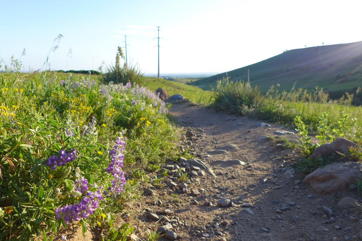
Photo: Let Ideas Compete/Flickr Creative Commons
Doudy Draw Trail
Distance: 2.2 miles
Difficulty: Easy–Intermediate
Trail Map
The Doudy Draw Trail begins as a gravel path from the Doudy Draw Trailhead, where the restrooms are oddly a half-mile from the parking lot. At the end of the gravel path, cross a bridge and begin the trail in earnest. There are enough embedded rocks to offer a respectable challenge to more casual riders. The final ascent to the top of the plateau (where it meets the Flatiron Vista Trails) features one large switchback and some legitimately intermediate riding at the bottom of the climb. Views north from the upper portion above the switchback are quite lovely.
Community Ditch Trail (Doudy Draw Section)
Distance: 1.9 miles
Difficulty: Easy
After cruising the 0.5-mile prelude from the parking lot on the Doudy Draw Trail, turn left (east) at the restrooms to start this scenic doubletrack trail. The riding is slightly uphill and non-technical. Cows often graze along (or on) the trail as it parallels the slow-moving waters of the ditch. Eventually, the trail reaches the underpass below Highway 93 where it continues to Marshall Mesa. This peaceful path is carved on the western terminus of the Great Plains where the Rocky Mountains begin.
Spring Brook Loop
Distance: 2.6 miles
Difficulty: Easy–Intermediate
Trail Map
The Spring Brook Loop is a 2.3-mile loop that combines the Spring Brook North and Spring Brook South Trails — the extra 0.3 miles is from the connector stem trail off of the Doudy Draw Trail. The loop can be traveled in either direction. Both options offer a brief but respectable climb to the western portion of the trail. Along the way are open meadows, a spacious pine forest, and a few easy technical obstacles. Even though the short-lived descents can be fast, this multi-use trail has a few blind corners, so it’s worth keeping your speed in check.
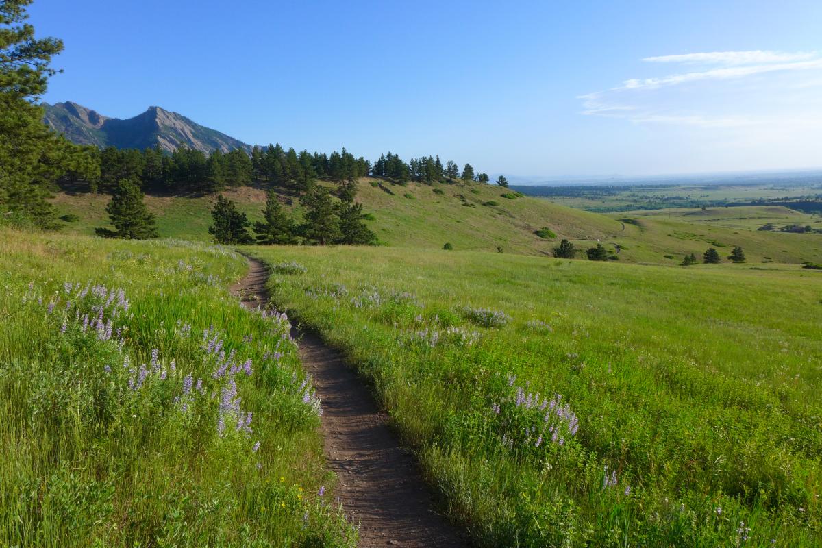
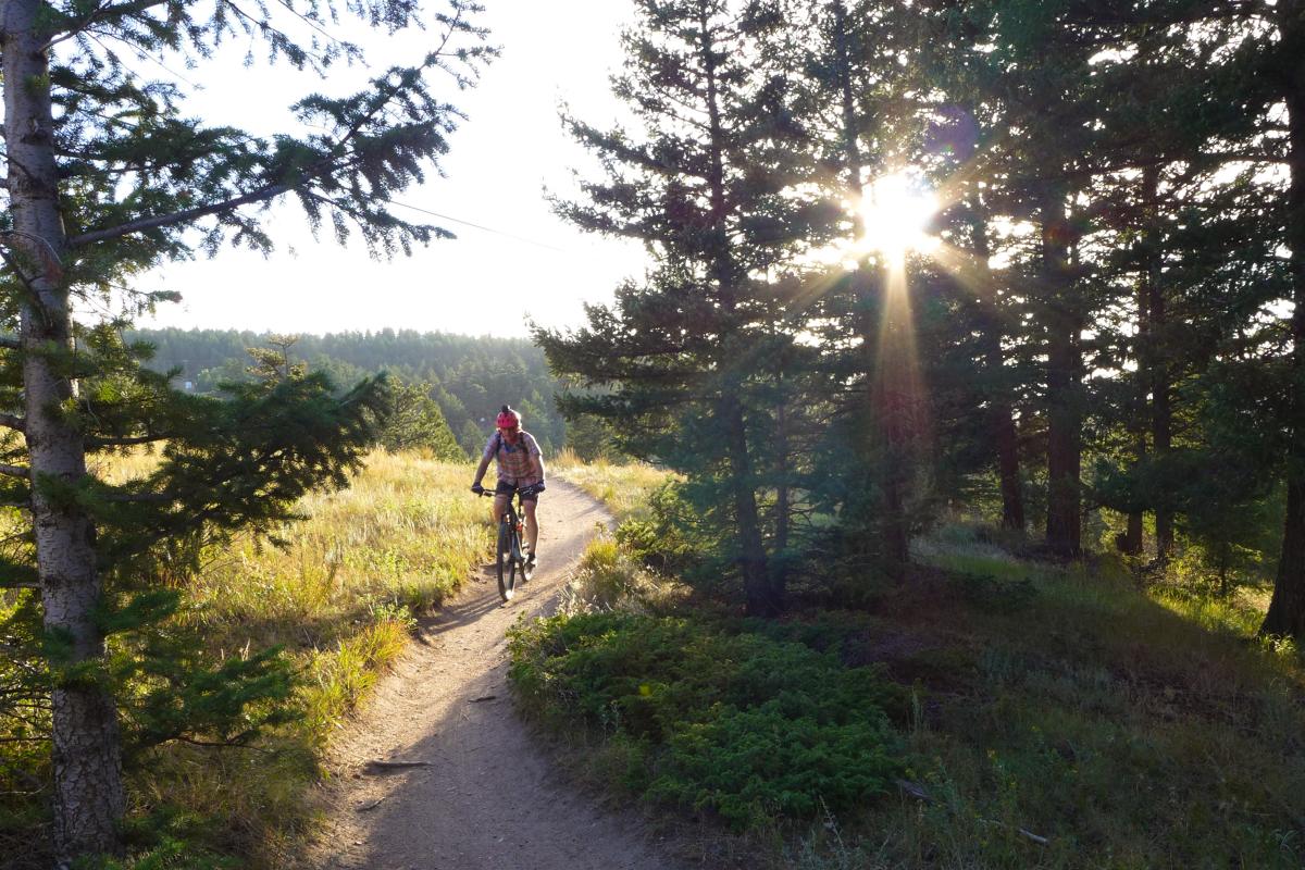
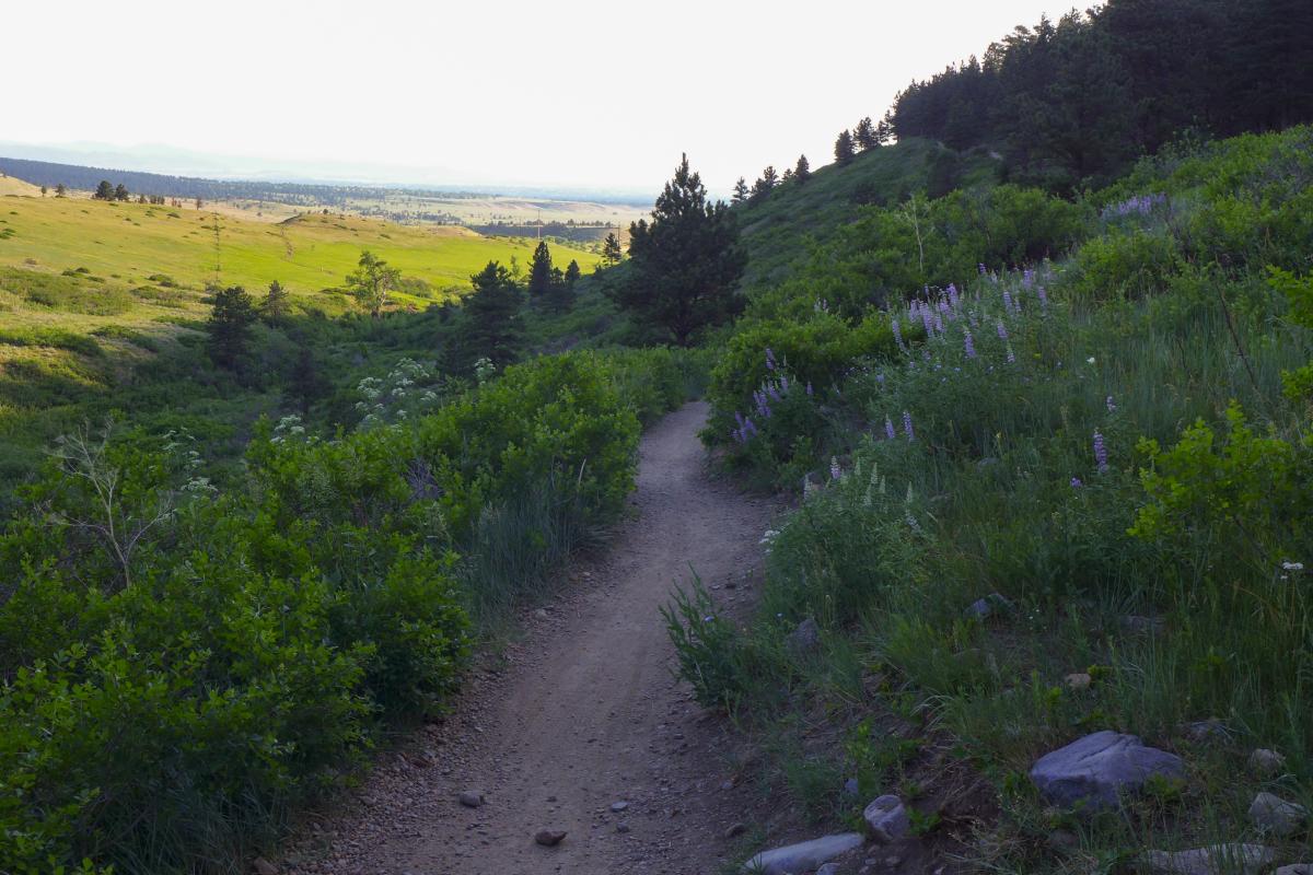
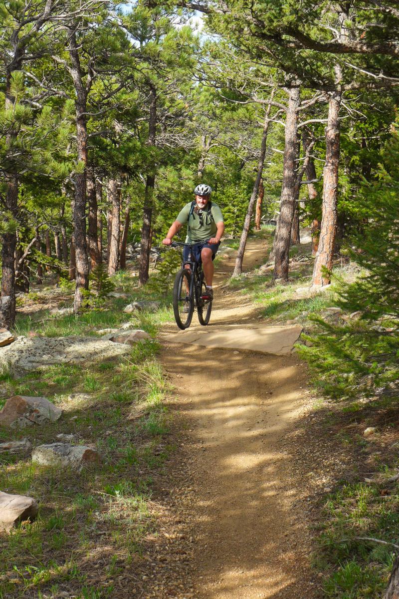
Heil Valley Ranch Mountain Biking
Heil’s blend of shady forests, wide-open meadows, and spacious vistas make it the perfect setting for some of Boulder’s best mountain bike trails. Sustained climbs, intermediate technical sections, zippy singletrack, and hectic descents create a trail network that demands solid all-around riding. The addition of the Overland Loop in 2017 gives Heil an excellent option for beginners and casual riders. Heil’s trails connect Boulder to Lyons via the Picture Rock Trail, famous for its historic farm relics and spectacular switchbacks. Ambitious riders can link Heil with Hall Ranch in Lyons for a challenging, all-day outing.
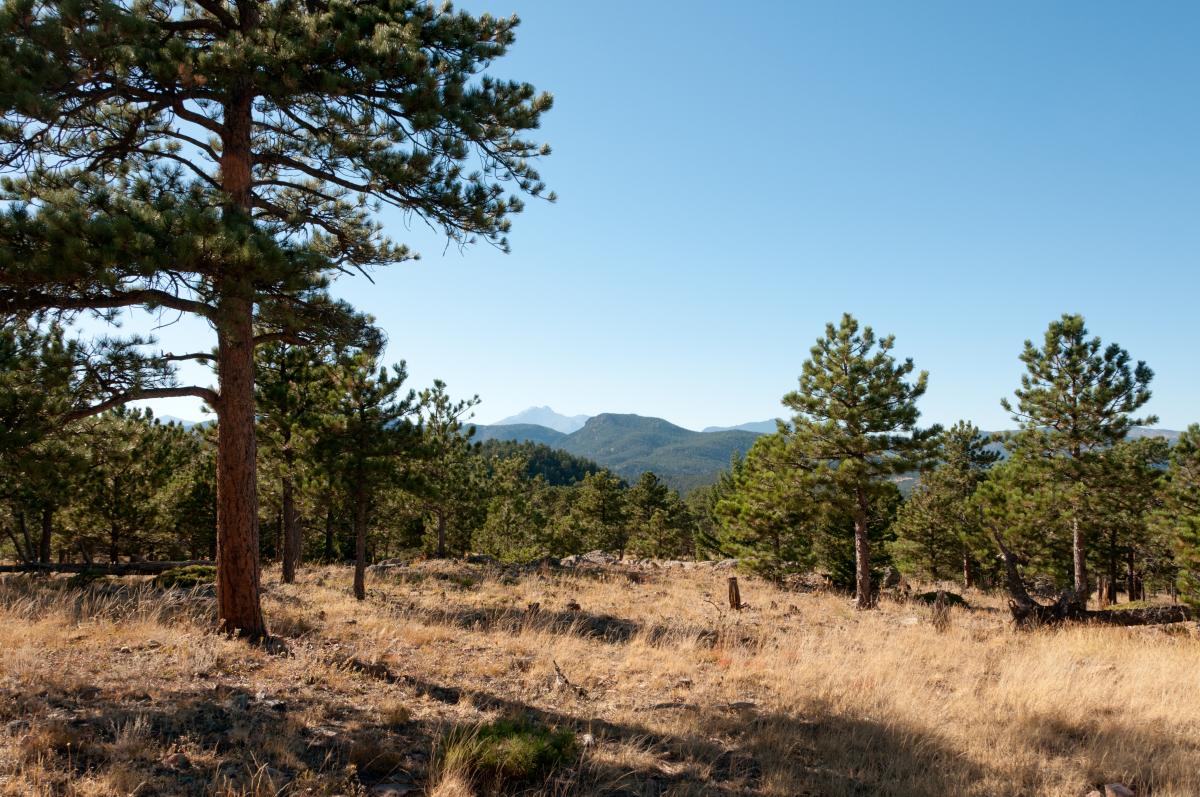
Photo: Jonathan Reyes/Flickr Creative Commons
Wapiti Trail
Distance: 2.5 miles
Difficulty: Intermediate
The Wapiti Trail starts from the main parking area and serves as the gateway to Heil’s matrix of trails. A brief section of fire road serves as a good warm up for a sustained, singletrack climb with just enough rocky trickery to keep your attention. As you ascend through the shadowy forest, keep an eye out for the ruins of an old stone building about halfway up. At a clear-cut section, the climbing grade eases up before the trail terminates at the Ponderosa Loop. Descending the Wapiti Trail is fast, frenetic, fun and flowy, challenging riders to keep their cornering and rhythm in sync with bouncy rock sections and through narrow trees.
Wild Turkey Trail
Distance: 2.9 miles
Difficulty: Intermediate
Trail Map
Despite being a jug-handle off the Ponderosa Loop, the Wild Turkey Trail is essentially a loop that briefly borrows a section of the eastern portion of Ponderosa to complete the circuit. It rides well in either direction and offers up a few challenging one-off technical obstacles within its steady, semi-rocky singletrack. The northern portion of the trail features the smoothest, cleanest, flat singletrack at Heil, though it is short-lived. Descending in either direction is fun, low-angle cruising peppered with brief zippy sections. Conversely, the climb out in either direction is an insidious grind, despite never being all that steep or technical. The namesake turkeys are a common sight.
Picture Rock Trail
Distance: 5.2 miles
Difficulty: Advanced Intermediate
Trail Map
Heil’s most technically demanding trail begins at a junction off the Wild Turkey Trail and ends at the Picture Rock Trailhead in Lyons. Picture Rock’s upper and lower segments offer two distinct riding experiences. The upper section is a continuation of Heil’s rocky singletrack with a few challenging rock obstacles and impressive switchbacks built up from 15-foot rock walls. Hilly forest trails give way to open meadows decorated with a weathered silo, rusty farm equipment, and the shell of a seemingly out-of-place Bonnie-and-Clyde-style car. The lower trail gracefully twists through grassy fields on a surface of powdery smooth sand, punctuated with short sections of embedded rocks. The last bit of the trail is a gravel path to the Picture Rock Trailhead.

Ponderosa Loop
Distance: 2.6 miles
Difficulty: Intermediate
Trail Map
Along with the Wapiti Trail, the Ponderosa Loop is one of the original mountain bike trails at Heil Ranch. It occupies a high plateau that offers westward glimpses of Colorado’s Rocky Mountains. The loop can be ridden in either direction, but you’ll get the most bang for your buck by riding clockwise from the junction with the Wapiti Trail. The western side of the loop enjoys segments of smooth, slightly sandy singletrack as it climbs to a highpoint before hitting a speedy, smooth descent to an impressive overlook. Enjoy the northwest views from the bench, then close the loop via an undulating, rock-strewn trail that features a quick, punchy climb at the finish.
Overland Loop
Distance: 2.3 miles
Difficulty: Easy
Trail Map
This is the only trail at Heil Ranch that begins at the Corral Trailhead near the start of Geer Canyon Road. Intentionally designed as a less-technical, beginner-friendly trail, the Overland Loop is smooth and serene, with just a touch of climbing. There are natural speed checks built into the trail and unlike the other trails at Heil, it is to be ridden in a single direction (the direction of the loop alternates each month). For experienced riders, it’s a nice warm-up to tack on to a longer ride. The Overland Trail is also the perfect place to take inexperienced bikers or kids who have graduated beyond pavement.
If you have to poo, walk at least 70 steps from trails, water and people. Dig a cat hole 6 inches deep, do your thing in the hole, cover it and pack out your TP. Or, use a wag bag (a disposable bag found in most outdoor stores) so you can pack out your waste.
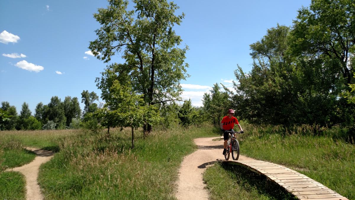
Valmont Bike Park Mountain Biking
The Valmont Bike Park is a sprawling 42-acre course constructed specifically as cyclo-cross park — but with something for every kind and size of rider. If you're just trying a mountain bike for the first time or if you're ready to catch huge air on dirt jumps, then come here. It's also a great place to be a spectator and learn from watching the pros. There's even a toddler track where little ones can earn their first biking stripes. It's free and open daily dawn to dusk.
More Ideas for You

Hikes with Amazing Views
Be rewarded with sweeping panoramas.

Favorite Boulder Bars
Find the best bar for your tastes

The Boulder Beer Trail
Dozens of Boulder breweries, wineries and distilleries