


In wintertime, check road conditions and ensure you have snow tires or chains if needed. If you need to take a moment to enjoy the scenery or consult your map, be sure to pull over in a safe, out-of-the-way spot.

The National Wind Technology Center's wind turbines are a sight to see

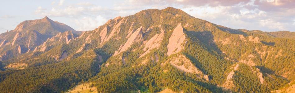
The view from the Boulder Turnpike
More Ideas For You

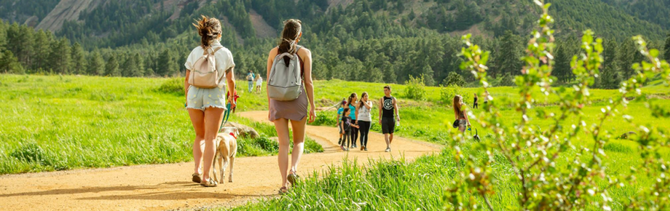
Explore Eldorado Canyon State Park
Rock climbing, hiking and views, just 20 minutes from Boulder

Scenic Drives
These routes let you cruise some of the most beautiful stretches of highway and backroads in…

Coffee Shops of Boulder
Where to sip the best Joe in town