


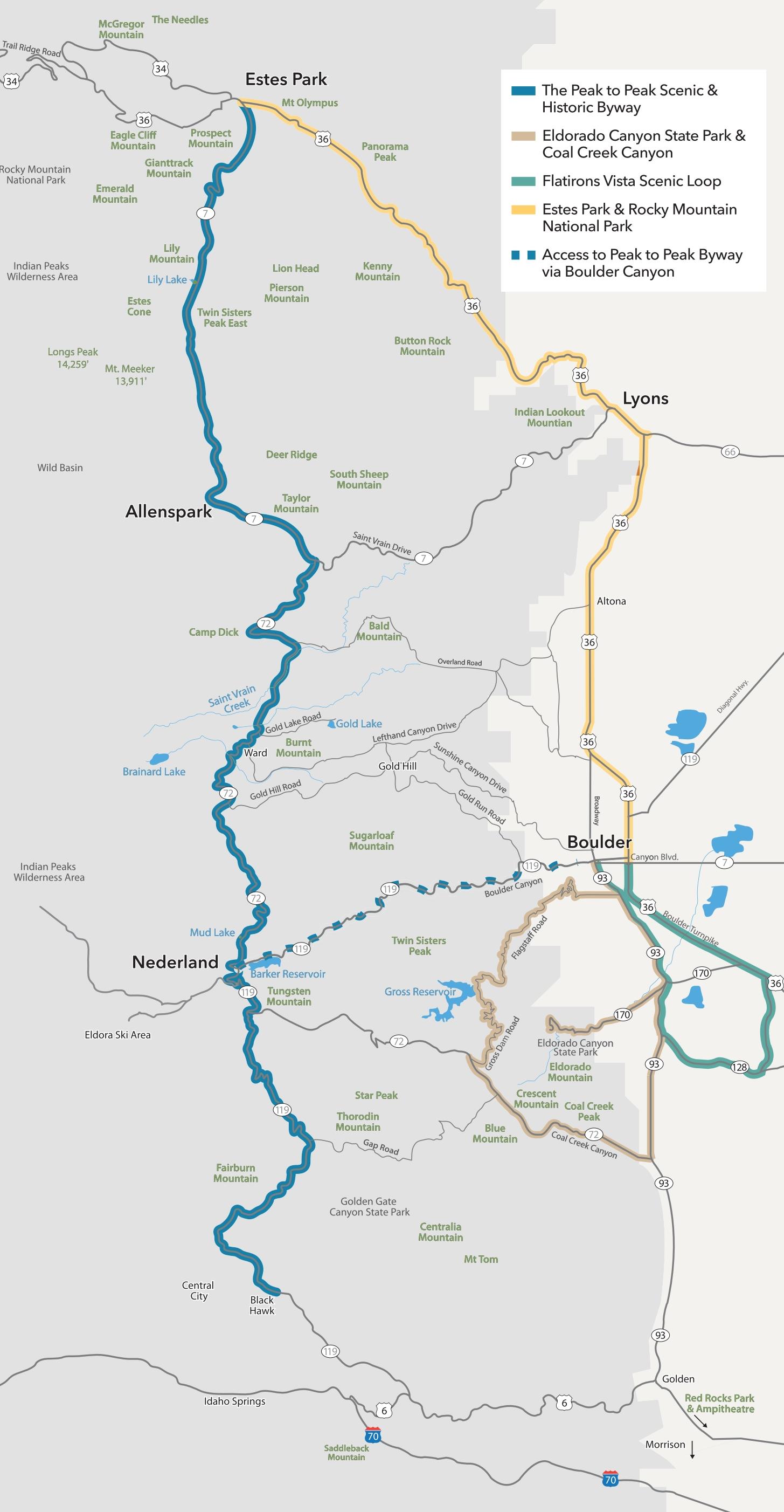
Please use caution when driving mountain roads. It's best to download a map before you leave in case you go into areas with no cell coverage. In winter, ensure you have snow tires or chains. And if you need to take a moment to enjoy the scenery or consult your map, pull over in a safe, out-of-the-way spot.
More Ideas for You

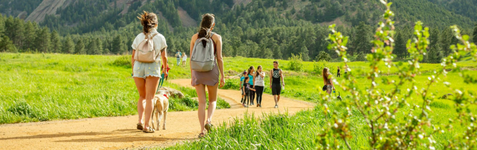
Road Trip Itinerary
Hop in your car, pack some goodies and hit the road! You’re headed to Boulder for some…

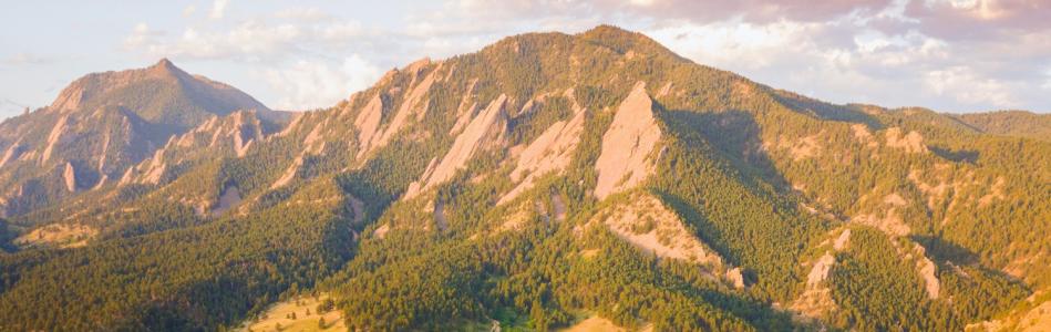
A Perfect Day Outdoors
From hot air ballooning to a picnic with a view

Farm Trail Scenic Drive
Hit the road to take in some of the county's flourishing farmland, with plenty of stops for photos…